Research |
Trying to resolve the mystery of the uplift of the Al Hajar Mountains in Oman The development of mountainous topography (uplift) is one of the most fascinating aspects of continental tectonics as high mountain ranges can significantly alter the climate on Earth. High topography can either by supported by upwelling hot mantle material or is being caused by shortening and associated thickening of relatively light continental crust. Probably the most eminent questions are the timing and rates of uplift. An intriguing and very poorly understood example of mountain uplift is the Al Hajar Mountains in Oman. It seems that there is no good reason why this high mountain range exists.
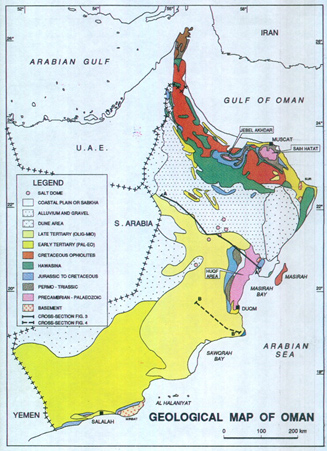
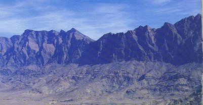
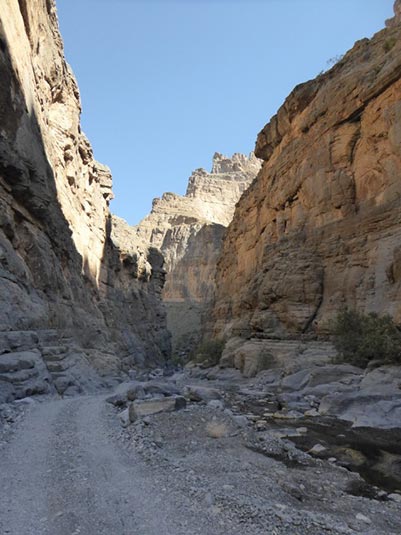
During Cretaceous time Oman was located adjacent to a subduction zone and a portion of the upper mantle along with seafloor volcanic rocks of the overlying oceanic crust were thrust over continental crust. This tectonic event caused thickening of the lithosphere and probably the formation of a mountain range in the Cretaceous. The uppermost parts of the mantle rocks have a weathering profile and are unconformably overlain by Paleogene shallow marine sediments. This indicates that any mountain range that existed was eroded down to sea level in the early Paleogene. The Paleogene sediments are in turn overlain by Neogene sediments. This whole sequence has subsequently been folded and this shortening event caused crustal thickening. However, it is wholly unclear whether crustal thickening was enough to have caused the topography of the present-day mountain range, which at Jabal Akhdar reaches more than 3km (Fig.2). The reasons for the development of mountainous topography in the Al Hajar Mountains are very poorly understood. If the topography is due to post-Miocene shortening then this topography need to be young (<10 Myr) and the major goal of this project to unravel the timing of uplift of the Al Hajar range.
|